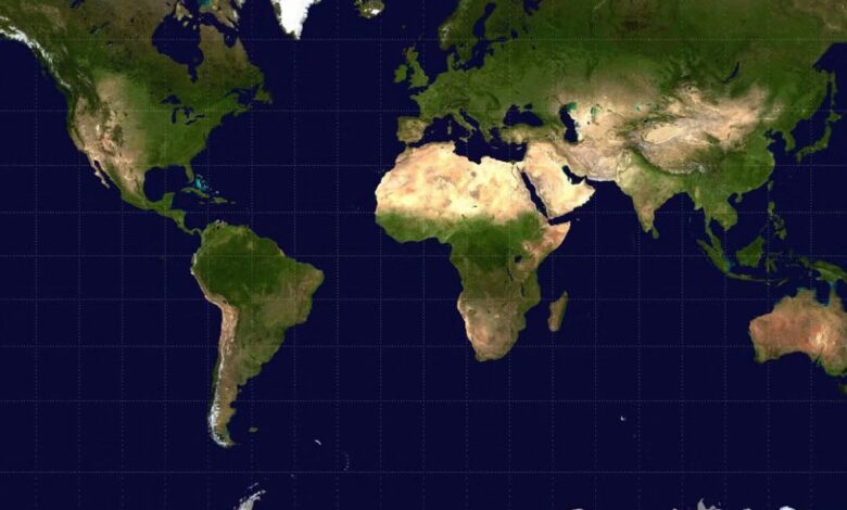
The United Nations General Assembly has endorsed a new world map designed to give a more accurate representation of the size of countries and continents, correcting one of the most familiar distortions in modern geography.
The resolution, spearheaded by Togo and backed by African Union member states, promotes the use of the Equal Earth projection as an alternative to the centuries-old Mercator map.
The Mercator projection, developed by Flemish cartographer Gerardus Mercator in 1569, has long been criticised for making land masses closer to the North and South Poles appear significantly larger than they actually are.
One of its most striking distortions is the apparent size of Greenland, which appears roughly comparable to Africa on the traditional map. In reality, Africa is about 14 times larger than Greenland.
The UN resolution was approved on September 4, with 164 countries voting in favour, six abstaining, and the United States voting against. However, the resolution is not legally binding and does not completely ban the Mercator projection.
Instead, it encourages governments, educational institutions, media organisations and technology companies to consider more accurate projections, particularly for general-purpose maps.
The Equal Earth projection, created in 2018, preserves the relative areas of continents more accurately, meaning Africa appears closer to its actual scale in relation to Europe, North America and Greenland.
The campaign to “Correct the Map” has been driven largely by African governments and organisations, which argue that the visual under-representation of Africa has implications beyond geography, influencing how generations of people perceive the continent’s size and significance.
Togo’s Foreign Minister, Robert Dussey, summed up the campaign ahead of the vote, saying: “A fair world begins with a fair map.”
The move does not mean the Mercator projection will disappear entirely. It remains particularly useful for navigation because of the way it represents direction.
For classrooms, atlases and general world maps, the UN-backed shift could change how millions of people see the world and finally show Africa at something much closer to its true size.