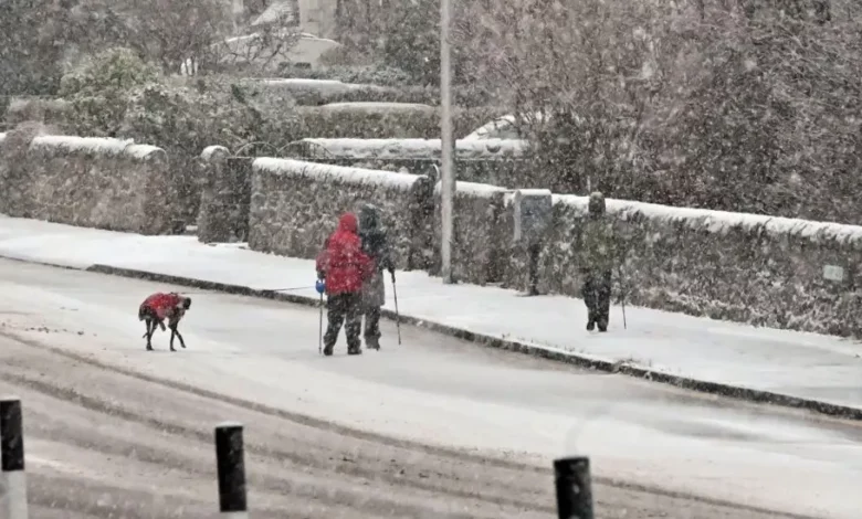
The Met Office has warned that parts of the UK could experience their first taste of winter this weekend, with snow possible over Scotland’s highest ground as colder weather moves across the country.
The change is expected on Saturday, 10 October 2026, when strong winds, heavy showers and falling temperatures could make conditions feel considerably colder across northern Britain.
However, the national weather service has made clear that snowfall is only a possibility over the highest ground, rather than a widespread event affecting towns and cities.
In its latest weekend forecast, published on Thursday, 8 October, the Met Office said Scotland could experience some of the most unsettled conditions, including heavy showers, hail and possible thunderstorms.


The colder weather follows a period of relatively mild autumn temperatures in several parts of Britain.
Although temperatures are expected to remain close to the seasonal average, strong north-westerly winds could make outdoor conditions feel much colder, particularly across northern areas.
Where could snow fall in the UK?
Scotland’s highest ground is the main area where temporary snowfall could occur during Saturday’s unsettled weather.
According to the Met Office, showers moving across northern Britain could become wintry at higher elevations as colder air reaches the region.
The possibility of snow is limited, and there is no indication in the forecast that major cities such as London, Birmingham or Manchester will experience snowfall this weekend.
Instead, most communities are expected to encounter showers, cloudy skies and occasional sunny spells.
Scotland is likely to experience some of the heaviest showers, while the north and west of the UK face stronger winds.
Southern and south-eastern England are expected to have better opportunities for brighter and drier weather.
The Met Office also expects the wind to make temperatures feel closer to the high single figures in some exposed northern locations.
What will the weather be like on Saturday?
Saturday, 10 October, is expected to be the wetter and windier day of the weekend.
Showers could develop across much of the country, although the frequency and intensity will vary between regions.
Northern Britain is expected to bear the brunt of the unsettled weather, with Scotland particularly exposed to heavy showers.
Strong winds could add to the discomfort for people travelling, working outdoors or attending sporting events.
Across parts of England and Wales, residents may experience a mixture of sunshine, clouds and passing showers.
The Met Office expects conditions to remain changeable during Saturday evening, although showers should gradually become less frequent as high pressure begins to develop.
Will conditions improve on Sunday?
Sunday, 11 October, is expected to bring an improvement across much of the country.
The Met Office forecasts lighter winds, fewer showers and longer dry periods as an area of high pressure moves across Britain.
Many locations could experience some sunshine, making Sunday a better option for outdoor activities.
Nevertheless, temperatures are not expected to rise significantly, meaning residents should still prepare for cool conditions, particularly in the morning.
Cloud cover may increase later in the day, while another Atlantic weather system could begin approaching western areas.
This could signal a return to wetter and windier conditions during the early part of next week.
What residents should know before the weekend
People planning journeys or outdoor activities should check local forecasts before travelling, especially in Scotland and other exposed northern areas.
Hillwalkers and those visiting mountainous areas should be particularly cautious because conditions at higher elevations can be considerably colder and windier than in nearby towns.
Appropriate warm clothing and waterproof jackets may be necessary, particularly for people spending extended periods outdoors.
Drivers should also remain alert during heavy showers, which may reduce visibility and make road surfaces slippery.
The unsettled weekend does not necessarily signal the arrival of a prolonged period of freezing weather.
In its wider outlook, the Met Office said temperatures are likely to remain near or slightly above average across much of the UK over the following 10 days.
This means the potential snowfall would be a short-lived event affecting higher ground rather than the start of a nationwide cold spell.
Residents can monitor changes through the official Met Office website and check for any weather warnings before making travel arrangements.
Read related news;
UK faces heavy snow showers as Met office, UKHSA issue warnings
Ex-MET officer faces hearing over sex worker claims
UK Schools may close as Met Office warns of -10°C Freeze across Britain